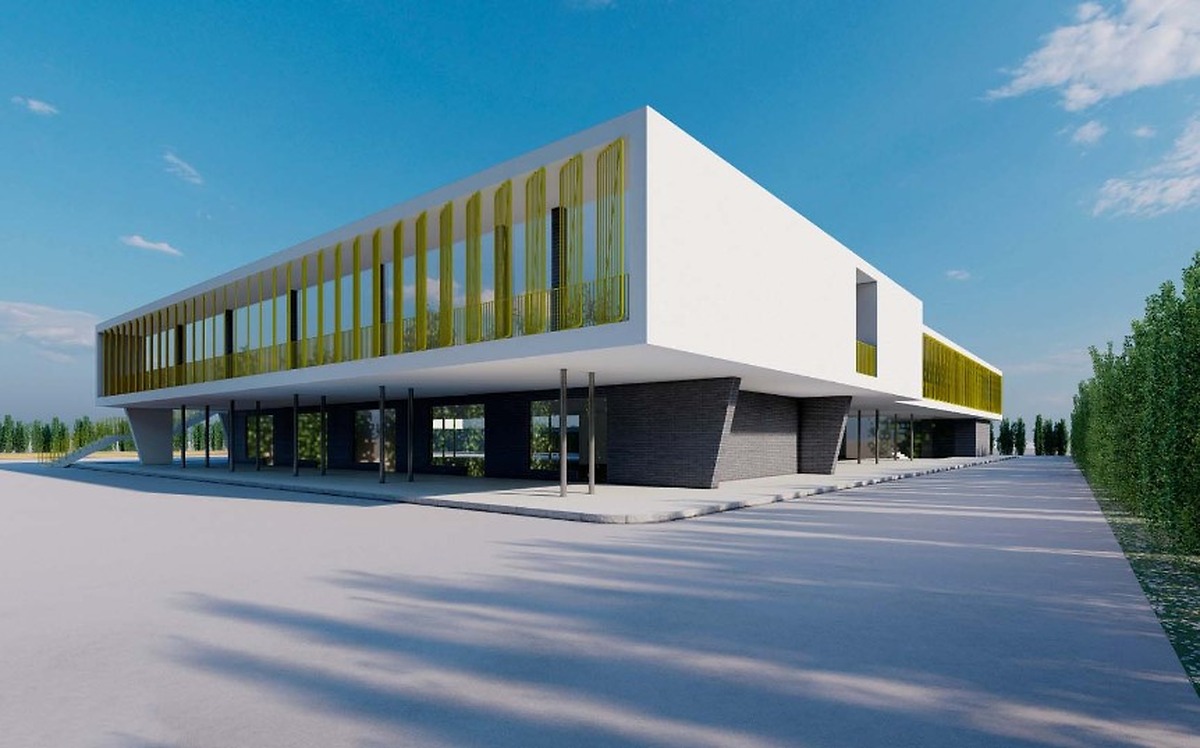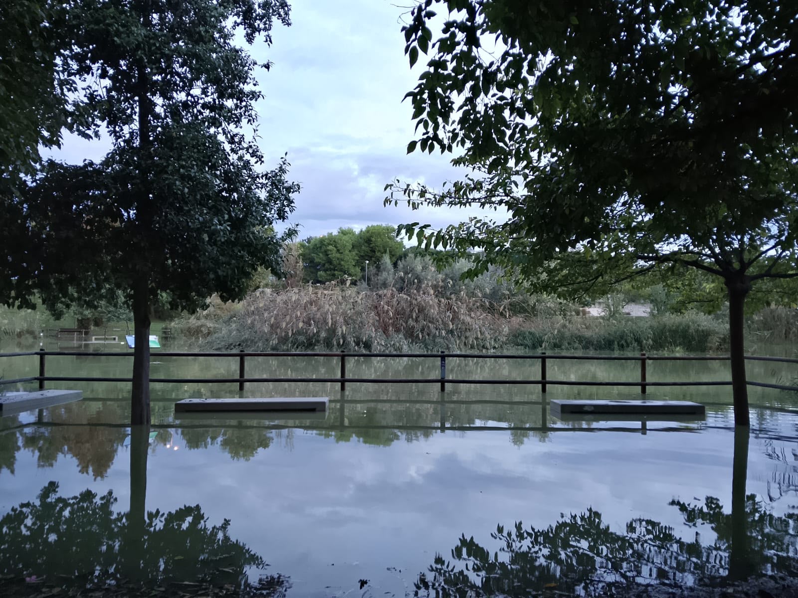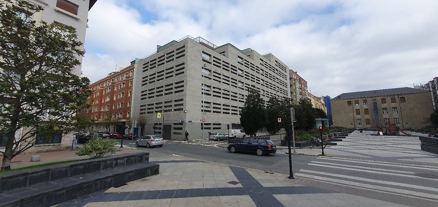
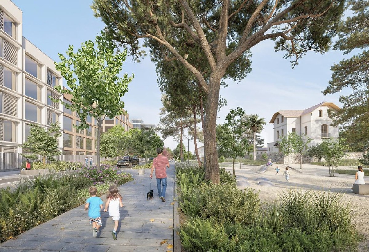
The Junta de Gobierno of Alicante has approved the initiation of the planning process for a new neighbourhood, El Pino and Ruaya, which will feature the construction of 2,500 homes and a substantial green area of 340,000 square metres. This development will proceed under the modification number 54 of the current General Urban Development Plan (PGOU), which has been submitted for environmental and strategic territorial evaluation by the Generalitat, the regional government of Valencia.
Antonio Peral, the city’s urban planning councillor, stated, "The development of this sector will provide the city with a new neighbourhood located next to the main northern access route, the Avenida de Denia, combining a significant residential offer with the construction of 2,500 homes, a tertiary development area for businesses and services, and a large urban park, Lomas del Pino, covering 340,000 m², aligned with the strategies of the General Structural Plan."
The area designated for this modification spans a total of 879,000 m² and is situated to the north of Alicante, bordering the municipalities of Sant Joan d'Alacant and Mutxamel, adjacent to the Avenida de Denia. It will connect with two other residential developments outlined in the General Structural Plan: Vista Alegre, which plans for 2,000 homes, and Alameda, with 1,300 homes. To the south lies the Vistahermosa Juncaret sector (PAU 3), which anticipates 3,500 homes.
Development details
This new sector will feature three main areas: the Parque de las Lomas del Pino, aimed at environmental recovery and integration into the municipal green infrastructure; a tertiary zone along the CV-818 (Hogar Provincial), covering 82,000 m², designed to enhance economic activity and services in the residential area; and a medium-density urban front along the Avenida de Denia, where the 2,500 residential units will be built in blocks, adhering to eco-neighbourhood principles across a 457,000 m² area.
The proposal for this modification originates from the companies Lomas del Pino S.L., Sacyr Gestión de Activos S.L., and Valirio Investments S.L., which own the land.
Urban model and connectivity
The urban model for El Pino and Ruaya aims to create a new residential-tertiary area inspired by eco-neighbourhood principles and the decentralised, polycentric city framework promoted by the General Structural Plan, currently under processing. It is envisioned as a strategic component of the metropolitan northern access to Alicante, facilitating the transition between established neighbourhoods, the historical agricultural land, and the environmental corridors of the Lloixa and Orgegia ravines.
The sector is designed around a green infrastructure that connects the historical agricultural areas with the new Lomas del Pino park, extending through the Juncaret-Lloixa river corridor towards the coastal system and the metropolitan interior. The green spaces and open areas will form a continuous system of high environmental quality, exceeding the minimum standards required by the TRLOTUP (Law on Land Use and Urban Planning) and fulfilling functions of climate regulation, sustainable drainage, and ecological connectivity.
The new neighbourhood will be structured around an axis connecting the Avenida de Dénia with the CV-818 and CV-821, concentrating commercial and office uses while organising internal mobility. The urban structure prioritises calm and active mobility, featuring traffic-calmed streets and pedestrian and cycling routes linked to the network of open spaces and metropolitan public transport.
The proposal aligns with territorial strategies for transforming the Avenida de Denia into a boulevard and improving metropolitan access routes. Historical and ethnological elements of the area, such as the El Pino and Ruaya estates, the Lloixa path, the hijuela of Llopera, and the Romèlia arch, will be actively integrated into the planning as urban references and structuring elements of the open space system.
Surrounding area
The area is surrounded by established low-density residential developments: to the north, the La Coix urbanisation in Sant Joan; to the east, the Les Paulines and Entredós urbanisations in Mutxamel and La Almajada in Alicante; and to the south, the Puerta Cerrada urbanisation. The eastern edge features the Monastery of Santa Faz, complemented by recent medium-density multi-family buildings. New urbanisable areas are also under development to the south, primarily the PAU 3.
One of the most significant strengths of this area is its excellent connectivity, both locally and regionally, due to its location along the N-332, which links to the A-70. This historical route serves as the main entry point to Alicante from the Mediterranean axis and, alongside the N-340, forms the structural north-south road network of the city.