The city council of Madrid has taken a significant step towards addressing a long-standing urban and registration issue by approving the initial special plan for the regularisation of free spaces in the caño roto norte area, located in the Latina district. This initiative aims to facilitate the future regeneration of the Poblado Dirigido, a community that has faced historical challenges regarding its urban planning.
The designated area covers 146,728 square metres and is home to 3,266 residents living in 1,310 homes. The plan affects over 80,000 square metres of free spaces between buildings, which require clear urban and legal definitions to establish appropriate management and transformation conditions.
Developed by the Department of Urbanism, Environment and Mobility, the special plan includes various categories of land use to align its classification with the physical, legal, and urban realities of the area. This includes designating 57,571 square metres as recreational areas, 14,511 square metres as free spaces linked to buildings, and 659 square metres as general-use free spaces.
The plan sets out the urban classification of the land, defines mechanisms for its legal regularisation, and establishes guidelines for its regeneration. Once approved, it will allow for the incorporation of these spaces into the Municipal Land Heritage, providing the city council with a stable framework for future planning initiatives.
Regarding general-use free spaces, these are privately owned lands designated for public use. The new classification establishes a legal easement for general use in favour of the city council, enabling it to carry out urbanisation works without altering the private ownership of these lands.
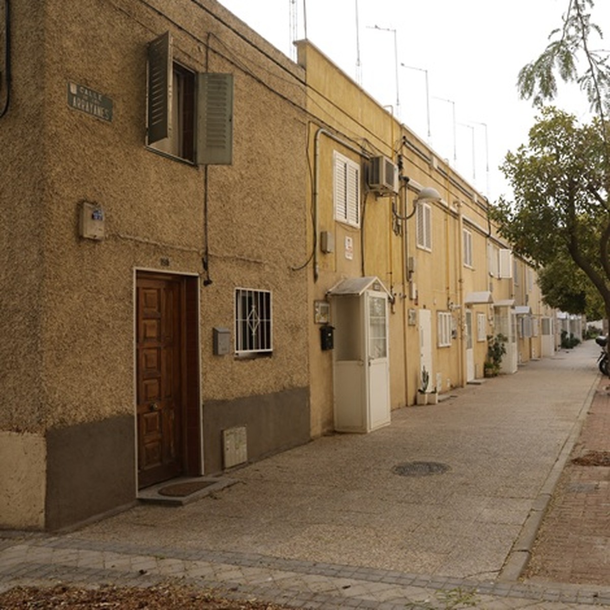
The configuration of the Poblado Dirigido in caño roto, characterised by open blocks and expansive spaces between buildings, plays a crucial role in the daily lives of local residents. Its recovery will address both legal issues and the conditions of accessibility, connectivity, and public space usage.
The diagnosis of the area highlights narrow pedestrian pathways with worn pavements, green spaces encroaching on sidewalks, and areas next to residential buildings surrounded by fences or overgrowth that hinder access and public use. It also points out the deterioration of pavements, sidewalks, and curbs in parking areas.
This intervention will lay the groundwork for future efforts to improve pedestrian pathways, increase green spaces and tree coverage, promote community coexistence, and enhance universal accessibility. It will also facilitate the adaptation of inter-block spaces to ensure emergency vehicle access to all buildings.
These objectives align with the Regenera Madrid Plan, the municipal strategy aimed at the comprehensive regeneration of established neighbourhoods built before 1985. Its healthy neighbourhood model promotes accessible and safe public spaces, cohesive and inclusive environments, and green and sustainable solutions that enhance residents' quality of life.
The initial approval of the caño roto norte plan continues the efforts initiated in caño roto sur, which was approved by the city council on 23 July. This coordinated approach covers 201,783 square metres, home to 5,044 residents in 2,049 homes, and will regularise over 115,000 square metres of free spaces.
This joint intervention will facilitate the creation of a network of connected public spaces, improving the relationship between homes, facilities, and green areas. It will also establish the foundation for future municipal investments in reurbanisation, renaturalisation, accessibility, and environmental improvement.
Following this initial approval, the plan will be subject to public consultation for one month, with announcements in the Official Gazette of the Community of Madrid and a widely circulated newspaper to allow for public feedback. During this process, the necessary reports from relevant public bodies will also be requested.
Through this initiative, the city council is progressing in the urban and legal definition of free spaces in caño roto, paving the way for their gradual transformation while preserving the historical identity of the neighbourhood and adapting its public spaces to current needs.