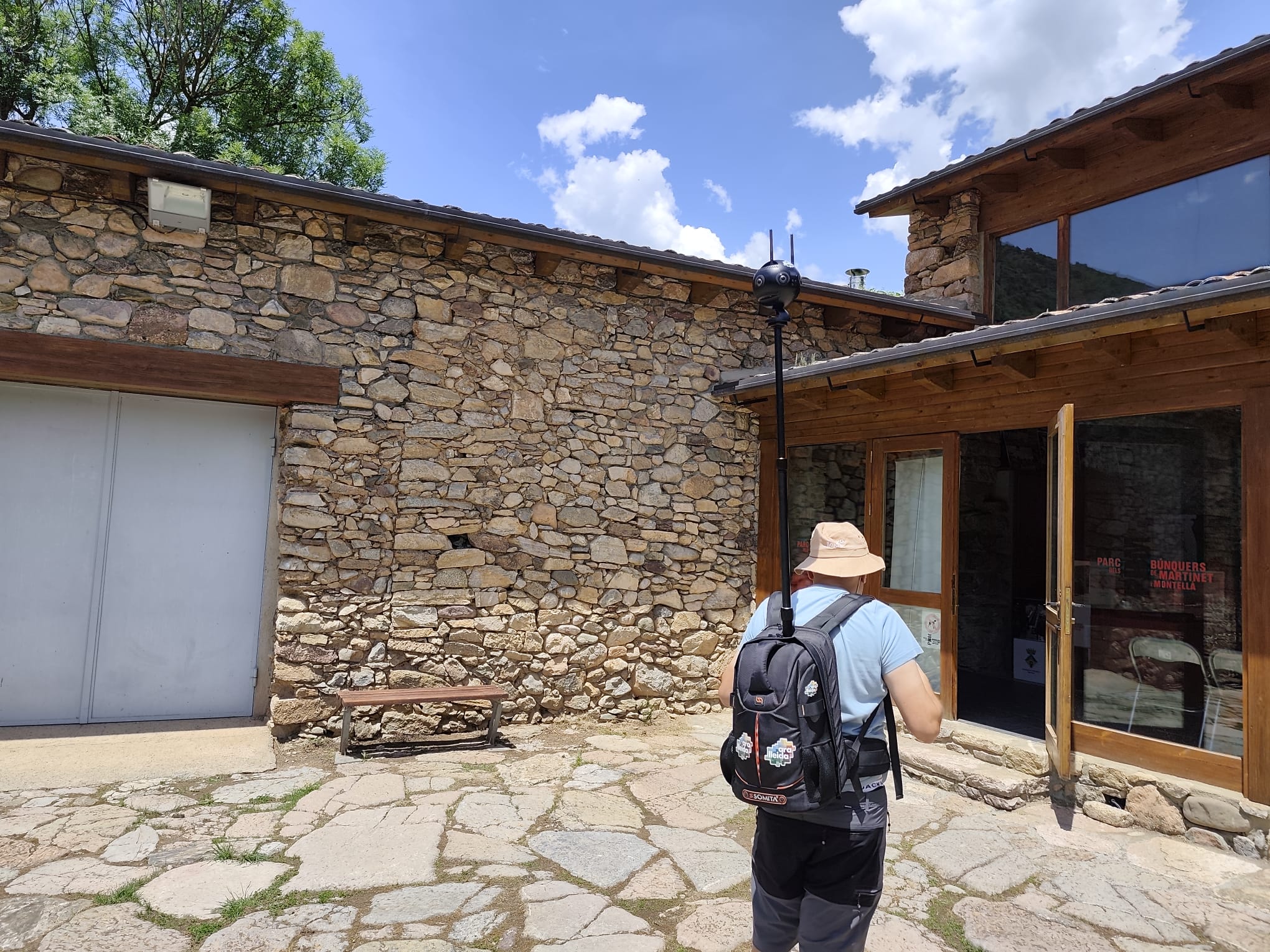
The Patronat de Turisme of the Lleida Provincial Council, in collaboration with all the regional councils of the area, has integrated 13 cultural attractions from the Pirineo and Terres de Lleida into Google Street View. This initiative is part of the Year of Cultural Tourism and follows on from a previous digitalisation effort conducted between 2021 and 2022.
Juan Antonio Serrano, the vice president of the Patronat, stated, “Culture is one of the great assets of our destination, and making it more visible and accessible allows us to reach new audiences and strengthen its positioning in both local and international markets.” He further emphasised that “this initiative reaffirms our commitment to new technologies and leveraging these tools to promote Lleida.”
The digitalised sites include:
- Mas de Colom de Tàrrega (l’Urgell)
- Castell de les Pallargues (la Segarra)
- Archaeological site of Vilars d’Arbeca (les Garrigues)
- Colegiata de Sant Pere de Ponts (la Noguera)
- Monumental complex of Seu Vella in Lleida city (el Segrià)
- Casa Canal de Mollerussa (el Pla d’Urgell)
- Torre de Vallferosa de Torà (el Solsonès)
- Castell de Llordà d’Isona (el Pallars Jussà)
- Serradora and flour mill of Àreu (el Pallars Sobirà)
- Roca del Corb de Peramola (l’Alt Urgell)
- Casa Jaumot of Pont de Suert (l’Alta Ribagorça)
- Castèth de Pijòert de Les (la Val d’Aran)
- Bunkers of Martinet (la Cerdanya)
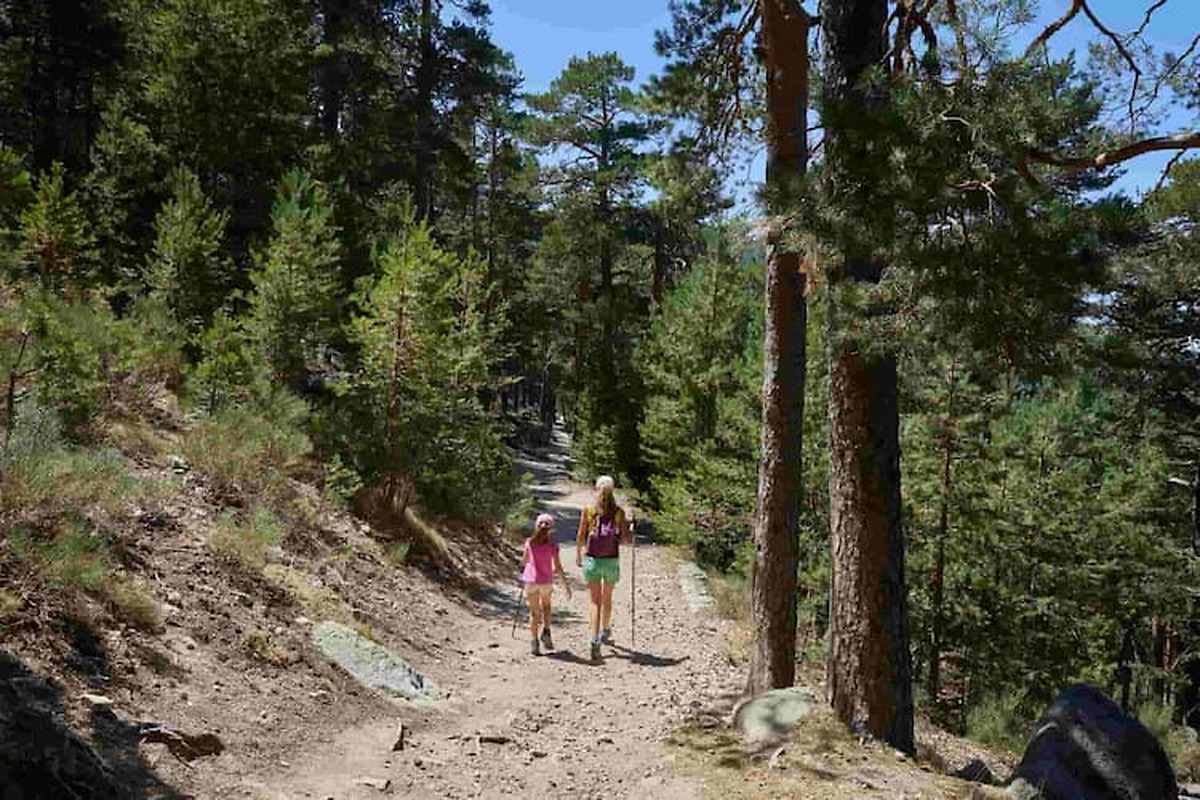
The images were captured using two methods. For the pathways, a backpack and a 1.5-metre telescopic pole equipped with a 2.5-kilogram camera featuring six lenses were used, which capture 360º images every five seconds and include GPS coordinates for each frame. Interior photographs were taken with a fixed tripod 360º camera. Once processed, the images are uploaded to Google Street View.